Fay Canyon Trail: A Peaceful Hike Through Sedona’s Gorgeous Red Rocks
Disclaimer: We are not paid to promote any restaurant, hotel, activity, product, or attraction. All opinions are subjective and based on our personal experience. Your experience may be different.
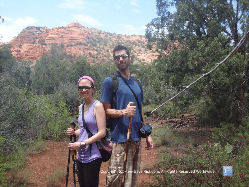
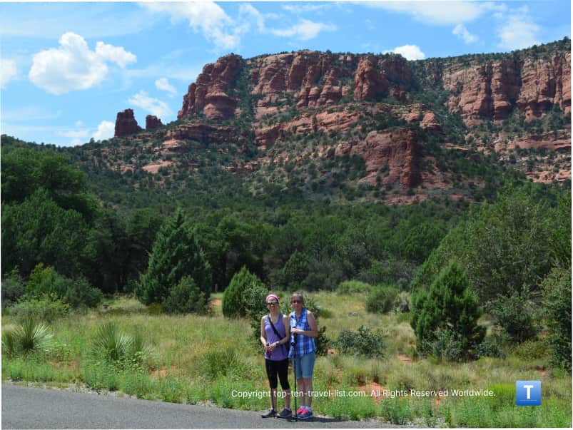
Sedona is home to 100’s of scenic hiking trails, the majority of which offer spectacular red rock views. Fay Canyon, a short & scenic box canyon, is no exception. This beautiful, easy short 2 mile loop trail is one of my favorite short trails. It’s one of my top picks for new visitors. Luckily, the trail is mostly shady due to the abundance of trees, meaning it is one of the few hikes I recommend checking out during the hot summer season.
The short distance, beauty, and easy terrain make this one just perfect for those limited on time. I hike this one when I have a lot of other stuff to do but I still want to get in a great workout with beautiful red rock views. You really get to see some stunning red rock formations for little effort. I even recently took a visiting family member (ith zero hiking experience) on this trail. They did just fine and were totally impressed with the scenery.
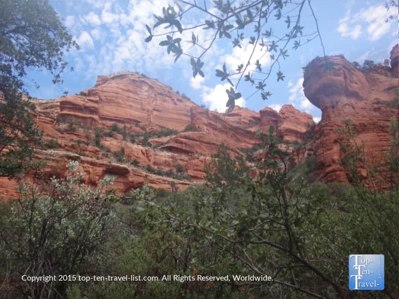
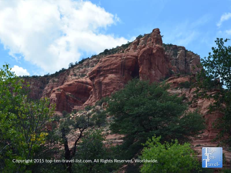
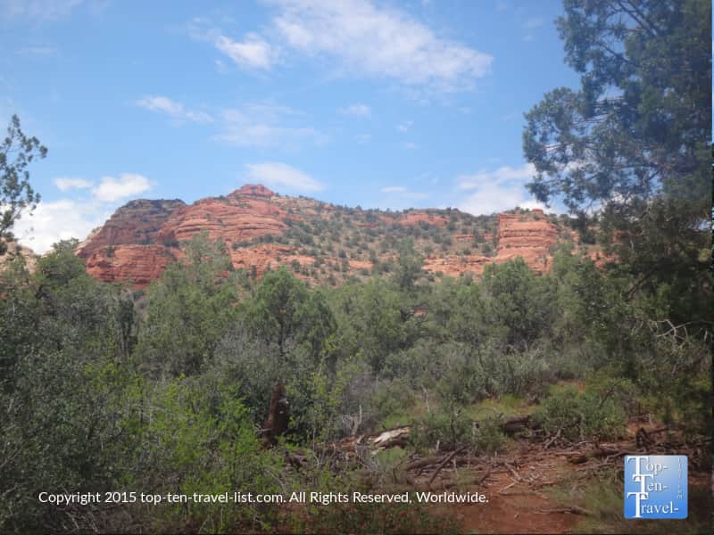
Amazing red rock views via a short hike
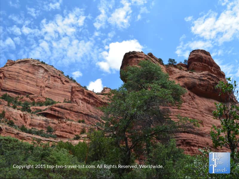
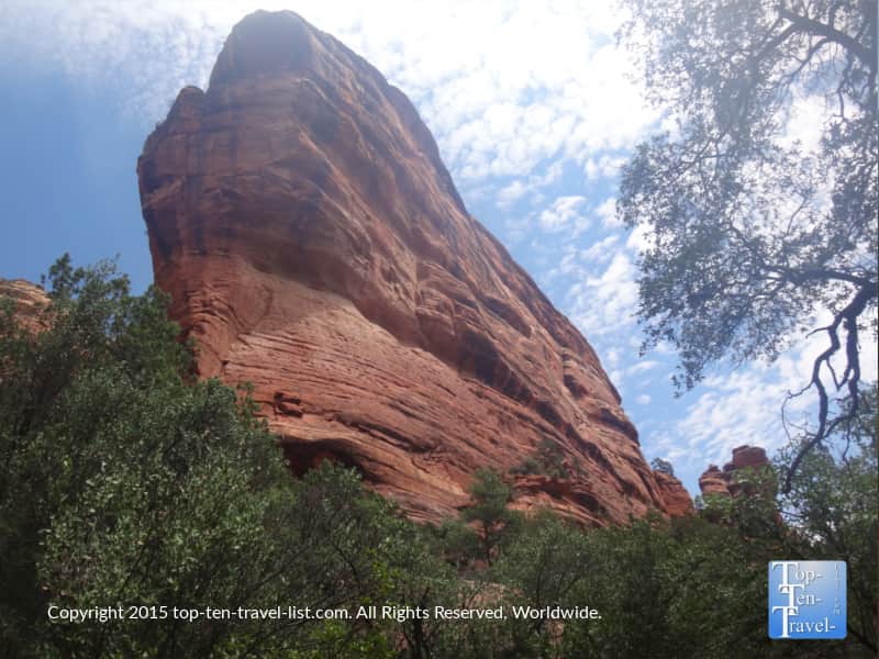
Picture-perfect views of the canyon’s towering red walls accompany you for the entire hike. The great views never end. On a side note, if you want to see the actual arch, you will need to take a side trail about 1/2 mile in. Note – the trail is not marked well, so I recommend a GPS watch. The short, yet very steep and unmaintained trail to the arch is worth it for the great views, just not the best choice for new visitors. Whether or not you take the side trail, the entire trail is really beautiful and peaceful. This is definitely one of the best-of-the-best of the short hikes available in this region.
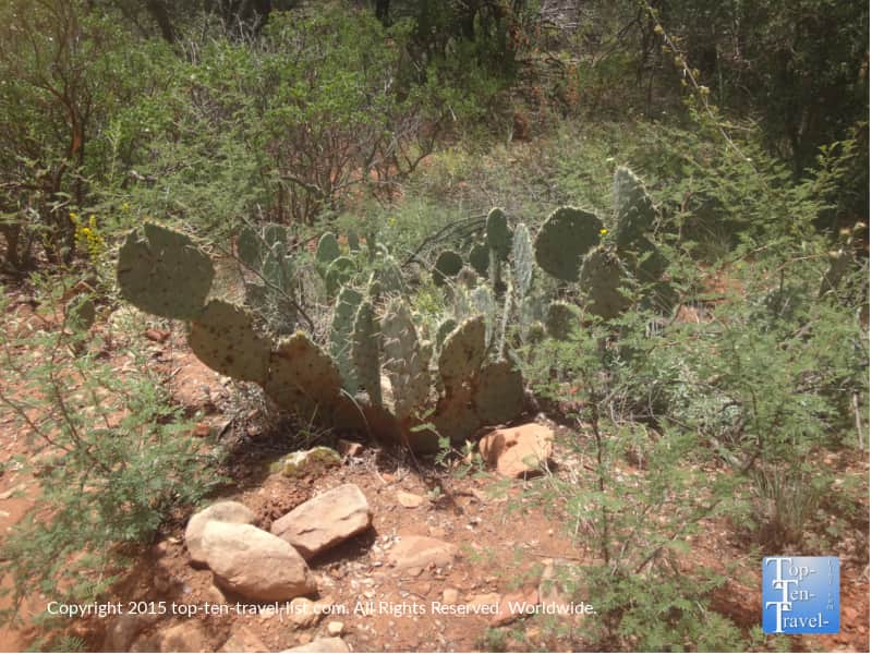
Along the way, you will come across beautiful & diverse desert plant life, including the Prickly Pear Cactus.
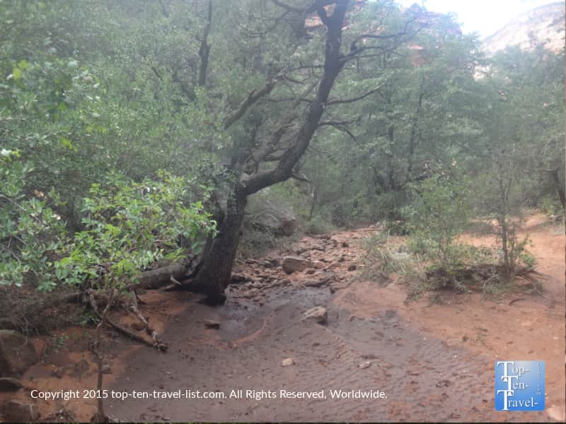
The many trees covering the area will keep you from overheating during the hot summer months. It’s shady and the greenery makes the red rocks stand out even more. This is one of the trails which travels into a lush area of the Coconino National Forest known as the Red Rock Secret Wilderness.

There is a gorgeous stream along the route, however, it is often dried out. I imagine the hike would be even more beautiful when the stream is running. I’ve never seen any water to date.
Why you should hike this trail
Hiking this trail will not take much longer than an hour and a half as it is completely flat (with the exception of the side trail to the arch). You’ll see some traffic on the weekend, but not nearly as much as more popular trails like Devil’s Bridge. On slower weekdays, I barely see anyone else around. Overall, this canyon hike is a wonderful easy hike with great views and plenty of shade.
And, if you are looking for more scenic easy hikes, you can check out my full guide. The great thing about this area is almost every hike has a fabulous view, so you are never losing out by taking the shorter route.
Helpful Tips
Wear sunscreen. Although the majority of the trail is shaded, remember that the sun is much stronger at high altitude.
The trail is not marked very well, and thus, it can be easy to get lost on the return route. Always hike with other people. Wearing a GPS watch also helps.
Be prepared for the summer heat. Daytime highs are usually in the 90’s. Drink lots of water before and during your hike. Dress appropriately. I recommend saving most hikes for the spring, fall and winter season. This is one of the most tolerable.
Be aware of possible wildlife encounters. Bears and mountain lions have been reported in the area. Carry a hiking stick to fend off mountain lions and carry bear spray just in case. Make a lot of noise on the trail and never hike alone! Personally, I ‘ve seen no evidence to date.
Plan your hike on a weekday for fewer crowds and an overall more peaceful experience.
Trailhead Address
Enter the following coordinates into your GPS: 34°54’06.9″N 111°51’28.5″W. There is no fee to park at the trail-head. Read more about this hike on the Forest Service website.
Trail Details
- Distance: 2 miles
- Difficulty: easy
- Elevation gain: 144 feet
- Bikes allowed: No
- Dogs allowed: Yes, must be leashed.