15 Amazing Drives to add to your Bucket List
Disclaimer: We are not paid to promote any restaurant, hotel, activity, product, or attraction. All opinions are subjective and based on our personal experience. Your experience may be different.
11. Red Rock Canyon
- Location: Red Rock Canyon State Park in Las Vegas, about 30 min from The Strip
- Length of drive: 13 miles
- Highlights: Amazing sandstone formations, a nice break from the craziness of The Strip, a wide variety of hiking trails for every fitness level, fantastic biking destination
- Attractions: 20 diverse hiking trails – Red Rock Canyon hiking map
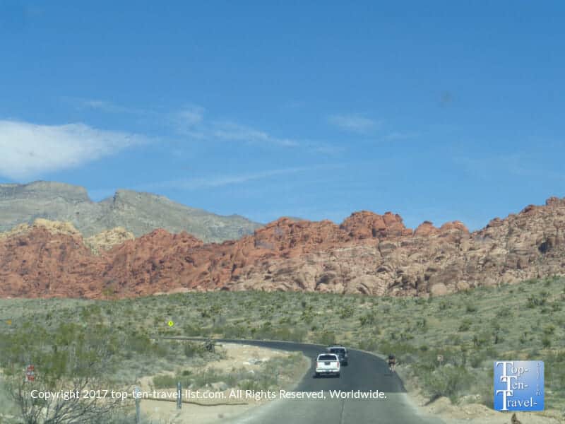
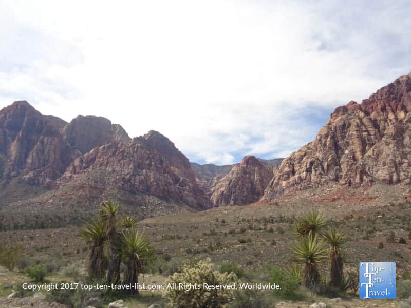
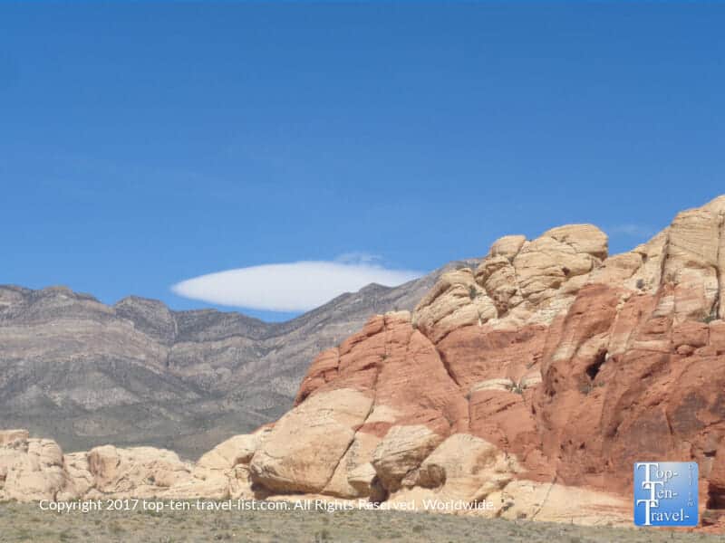
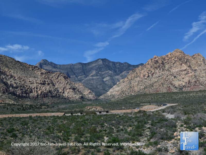
Red Rock Canyon State Park is a fabulous addition to any Vegas vacation. If you can draw yourself away from The Strip excitement for a morning, there are some pretty cool natural gems to explore in Southern Nevada. The most popular, Red Rock Canyon State park, sits a mere 30 miles from all the man made splendor. Despite being so close to the action, the rustic setting in the isolated Mojave desert makes it feel a world’s away.
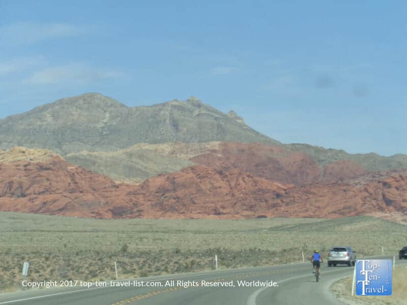
The top draw here is a 13 mile, one way paved scenic drive which travels amongst otherworldly rock formations which dramatically rise in a palette of beautiful colors. The road is super popular with local cyclists thanks to its’ immense beauty. In addition to scenic overlooks, there are numerous hiking trails to work up a sweat. While the drive is stunning enough in and of itself to warrant a visit, there are 26 miles of diverse hiking trails for the avid hiker. This can easily be turned into an all day activity. Driving this pretty loop was one of my favorite non casino related attractions.
12. Snowbowl Road
- Location: 7 miles north of downtown Flagstaff, Arizona on US 180
- Length of drive: 8 miles
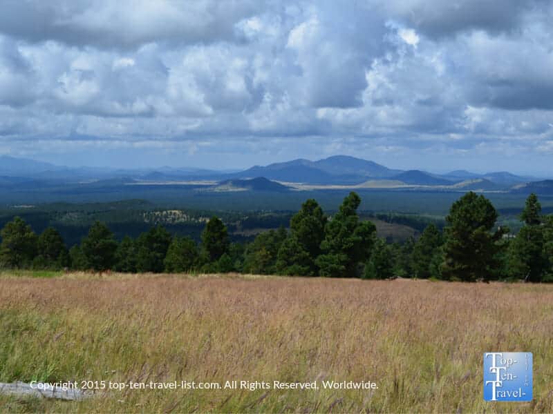
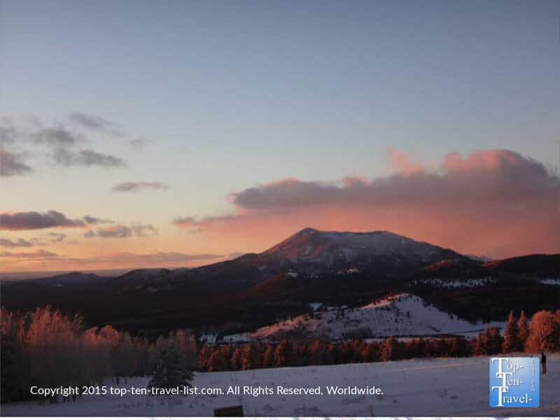
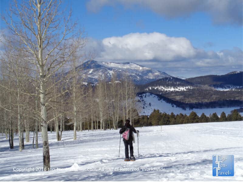
- Highlights: Terrific mountain vistas, amazing fall color, access to hiking trails, high altitude pine and aspen scenery
- Attractions: Veit Springs trail, Kachina trail, Aspen Nature Loop, Aspen Corner (amazing fall foliage), Chairlift rides, Arizona Snowbowl (the premier ski resort in Arizona)
Flagstaff is a wonderful summer escape from the heat of the Sonoran desert. This quaint mountain town sits at an altitude of 7000 feet and rarely sees a day over 80 degrees. Plentiful outdoor recreation make this Northern Arizona vacation oasis the perfect destination for outdoor lovers and hikers. The gorgeous San Francisco mountains make quite a statement, with the summit (Humphrey’s) rising 12,633 feet.
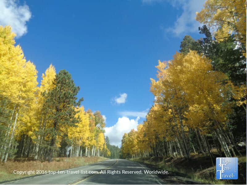
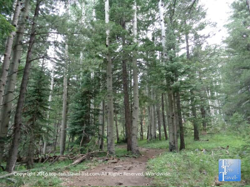
Beautiful Snowbowl road leads you up to the base of the mountain at an elevation of 9500 feet. The drive up is stunning anytime of the year as you are surrounded by ponderosa pine and aspen forests. Fall is the most exhilarating time to visit as golden aspens line the road. Hands down, this is one of the most gorgeous places in the US during the peak of fall color. I have never seen more amazing fall color in my life until I moved to Flagstaff (and I lived in New England for years!). The Aspen Nature Loop, Kachina Trail, and Veit Springs trail will all take you through these colorful aspen groves. If relaxation is more your style, consider a chairlift ride to “the coolest place in Arizona.”
13. The Grand Loop at Yellowstone
- Location: Yellowstone National Park
- Length of drive: 140 miles
- Highlights: Gorgeous natural scenery, geysers, waterfalls, wildlife sightings
- Attractions: Scenic overlooks, wildlife watching, hiking trails
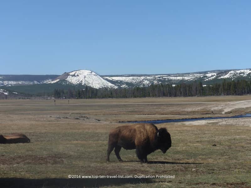
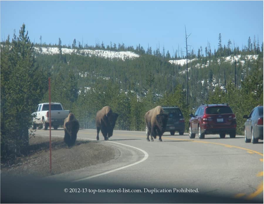
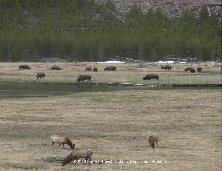
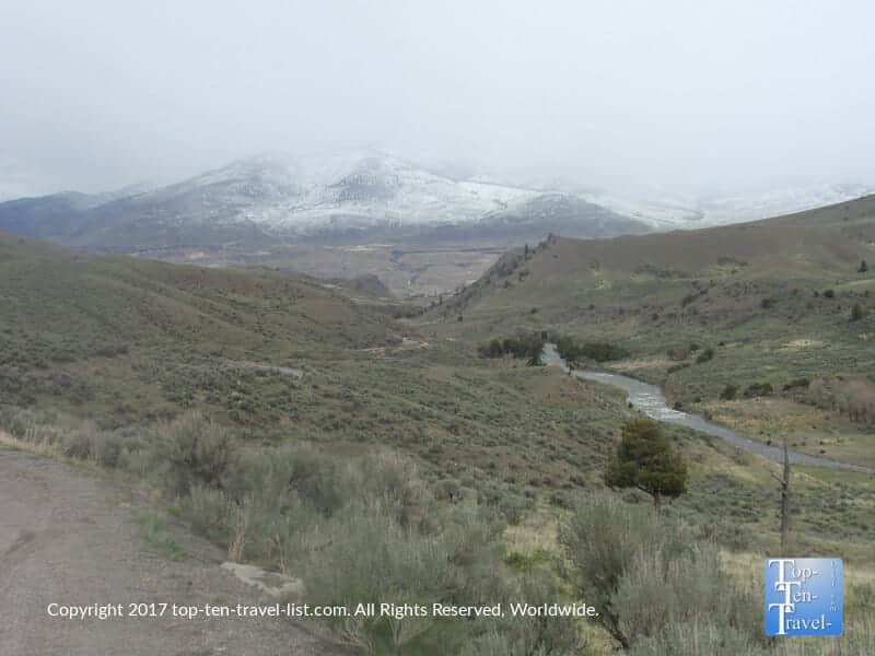
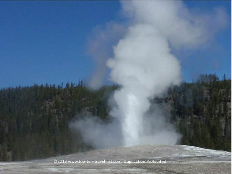
One of the best adventures you can plan in Yellowstone is driving The Grand Loop. While it’s quite long (140 miles) and requires a lengthy time commitment (4-7 hours), it’s an amazing experience. The drive is diverse, both in terms of scenery and wildlife. You are bound to see bison and elk, and possibly bears and wolves. Visiting early in the morning will increase your odds of seeing wildlife. Most of the best attractions in the park including Old Faithful (the most predictable geyser) can be accessed via this drive. Lovely mountain and lake scenery throughout. Take your time and enjoy the beauty of America’s first national park.
The drive follows a figure 8 pattern and runs from the northern to southern end of the park. There are lots of scenic overlooks and historic attractions where you can get out of your car and explore. These include Mammoth Hot Springs, Old Faithful, Fountain Paint Pots, and the Grand Canyon of the Yellowstone. Also, be sure to consider a guided hiking adventure if you have the time and stamina!
14. Roaring Fork Motor Nature Trail
- Location: Gatlinburg, TN
- Length of drive: 5.5 miles
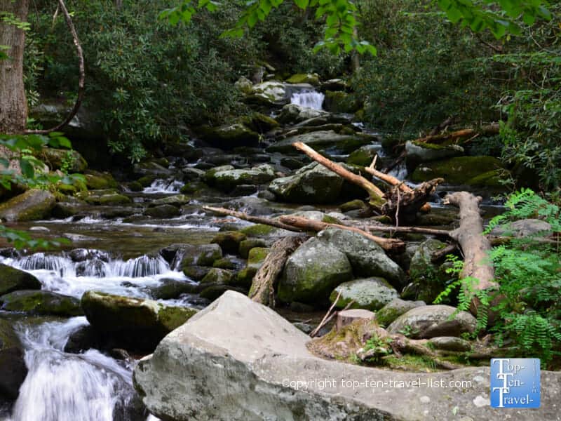
- Highlights: Serene forest views, lovely streams, waterfalls, access to great hiking trails
- Attractions: Sightseeing, wildlife watching, leaf peeping, scenic overlooks, Grotto Falls trail
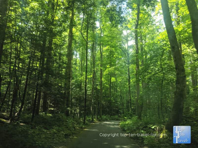
One of the most popular tourist attractions in the Smoky Mountains is a beautiful 5.5 mile long, one way drive known as the Roaring For Motor Nature trail. As this drive is on most Gatlinburg tourist’s itineraries, you must be prepared for crowds. While the drive is gorgeous, the tourist traffic sadly takes away any rustic vibe. Regardless, this drive is a beautiful destination for hiking, sightseeing, photography, and simply enjoying a few hours in pretty natural surroundings. If you want to enjoy the beauty of the Smokies, this drive comes in near the top of the list.
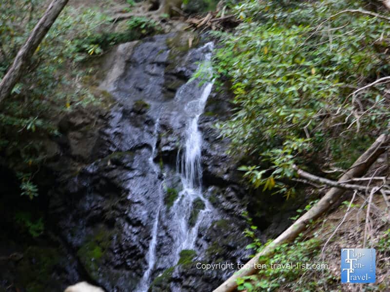
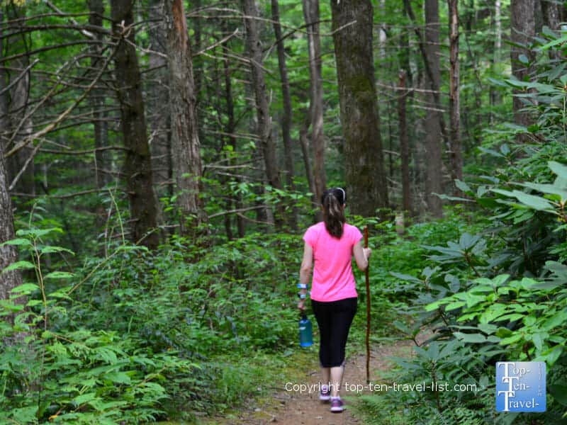
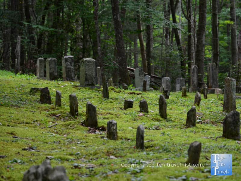
The must do along this drive is the 2.5 mile long moderate trek to Grotto Falls. While the waterfall is only 25 feet, it is the only one you can stand behind in the Smokies. Because this hike is located in an old growth hemlock forest, there is plenty of shade – enough for a summer visit. A quieter tourist free option is the Baskins Creek trail, an underrated moderate trek of just 2.7 miles. This one is very rustic and usually completely deserted. You will come across an old cemetery which is pretty unique.
15. Pacific Coast Highway
- Location: The California coastline
- Length of drive: 500+miles
- Highlights: Amazing views of the coast, access to top rated beaches, gorgeous redwood forests, historic attractions
- Attractions: Santa Monica Beach rollercoaster, Golden Gate Bridge, Seaglass Beach, Drive thru Redwood tree, Redwood State Park, Hearst Castle tours
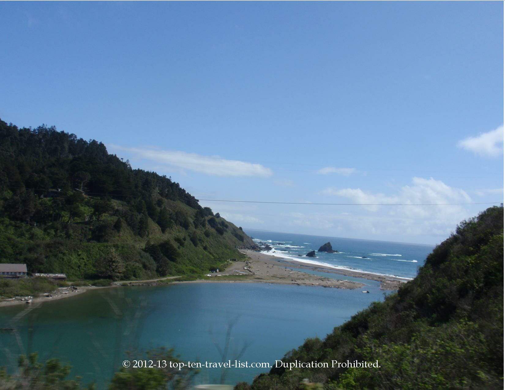
California State Route 1, more commonly referred to as the PCH, has been a tourist favorite since opening in the 1930’s. The route begins in Southern California near San Juan Capistrano, and ends at US 101 in Mendocino County. From beaches, to redwoods, the scenery varies tremendously on this drive. The entire drive is beautiful, however, the small section between Big Sur and Monterey offers the most dramatic views. This short, yet scary portion is where you can expect jaw dropping views at every turn.
After just a few hours exploring, you will easily understand why the PCH is rated one of the most beautiful drives in the country. Plan ahead as you will likely need extra time to explore. You will want to plan at least a few days, perhaps a week to cover everything…
Just a few of the must do’s along the route…
- Mission Beach: Take a bike ride or walk along this classic San Diego boardwalk.
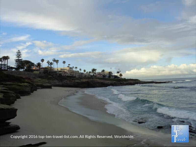
- La Jolla Cove : San Diego beauty with amazing cliff scenery and sea lion sightings.
- Huntington Beach: Classic SoCal beach with a surf vibe and a wonderful 7 mile paved bike path along the water.
- Monterey State Beach: Tranquil beach with lots of seaglass.
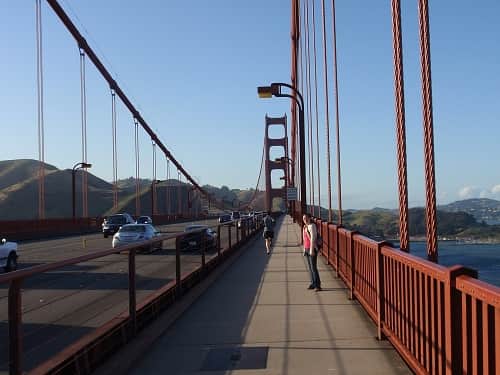
- Golden Gate Bridge: Walk across the 1.7 mile bridge for a once-in-a-lifetime experience.
- Hearst Castle: Tour the museum once home to newspaper tycoon William Randolph Hearst.
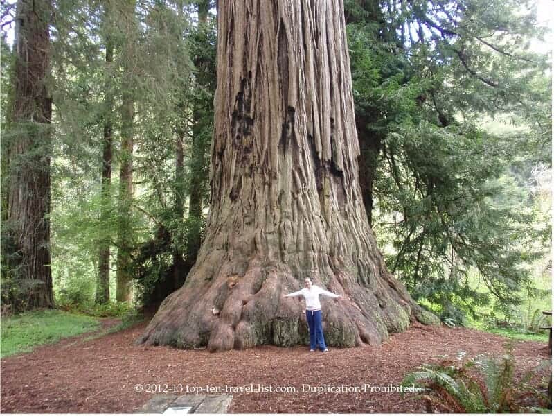
- Redwood State Park: Stand next to the tallest trees in the world! One of the most incredible places!
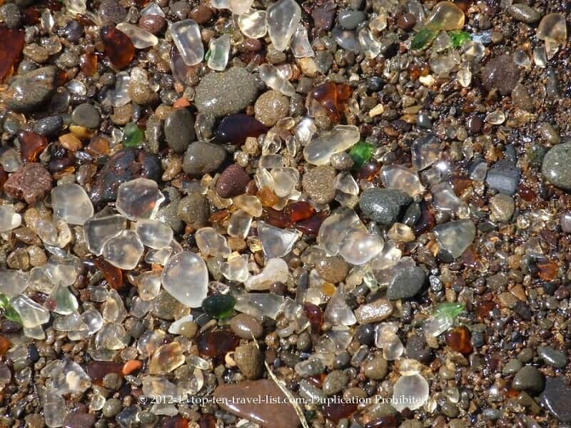
- Ft. Bragg Glass Beach: The site of a former dump is now home to the highest concentration of seaglass in the world. You have to see this beach to really believe it!