15 Amazing Drives to add to your Bucket List
Disclaimer: We are not paid to promote any restaurant, hotel, activity, product, or attraction. All opinions are subjective and based on our personal experience. Your experience may be different.
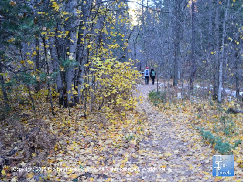
6. Oak Creek Canyon
- Location: Northern Arizona along 89a, 7 miles south of Flagstaff
- Length of drive: 14 miles
- Highlights: Beautiful ponderosa pine tree forests, amazing hiking trails, enchanting red rock formations, creek access, charming inns and B&Bs
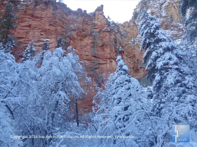
- Attractions: Indian Gardens (best breakfast in the state), West Fork trail (leaf peeping hotspot known as “the New England of Arizona,”), Cookstove trail (amazing views of the pines), Native American Artisan market
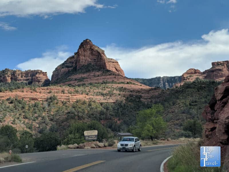
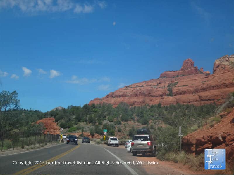
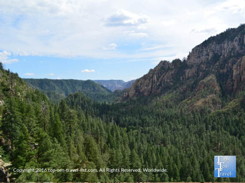
This underrated drive delivers in offering the most breathtaking views of any drive on this list. Beginning just outside of the high altitude ponderosa pine forests of Flagstaff, and continuing on until reaching the red rocks of Sedona, this drive varies intensely in terms of scenery. The elevation varies from almost 7000 feet to a low of 4500 feet in Sedona. Packed into the 14 mile drive are jaw dropping views of the rare Northern Arizona ponderosa forests, along with out-of-this-world vistas of Sedona’s incredible red rock formations. Every mile brings forth more and more jaw dropping vistas.
Along the way, you will have access to numerous overlooks, gorgeous hikes, the freshest natural spring water (MP 387), popular camping sites, creekside inns, and a year-round Native American artisan market. Really, there is so much to do and see along this drive. Sightseeing, hiking, photography, relaxing, fishing, dining, shopping, you name it…this drive offers it all. And, when you arrive in Sedona, there are endless hikes to take advantage of. I lived in this beautiful area for several years. I drove Oak Creek Canyon into Sedona nearly every weekend and checked out dozens of amazing hikes. Take a look at my guide to the most scenic hikes in Sedona.
7. State Road 244
- Starting Point: Ruidoso, New Mexico
- Length of drive: 46 miles
- Highlights: Off-the-beaten path, beautiful scenery, access to great hiking trails, a cool break from the desert heat
- Attractions: Trestle Recreation area, picnicking, Old Apple Barn (great cider and fudge), Ski Cloudcroft, Burro Street Exchange (shopping & dining), Osha Trail (2 mile loop with views of the trestle)
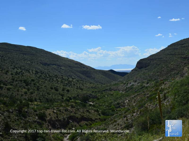
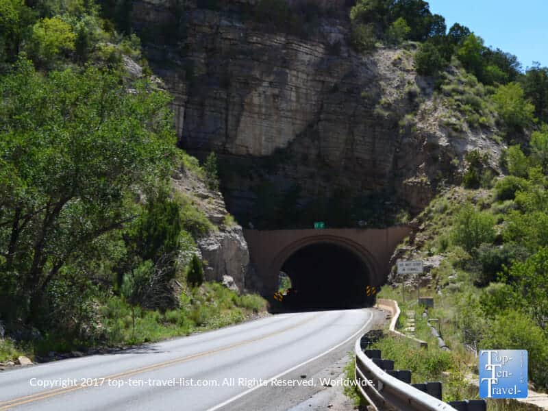
There are many scenic high altitude destinations throughout New Mexico. A trip to the Lincoln National Forest is a great add on daytrip for anyone visiting White Sands National Monument or the Las Cruces region. Sitting high at 8676 feet, Cloudcroft is one of the highest located cities in the US. Not surprisingly, Cloudcroft is a popular summer escape for locals fleeing the intense summertime heat of the desert.
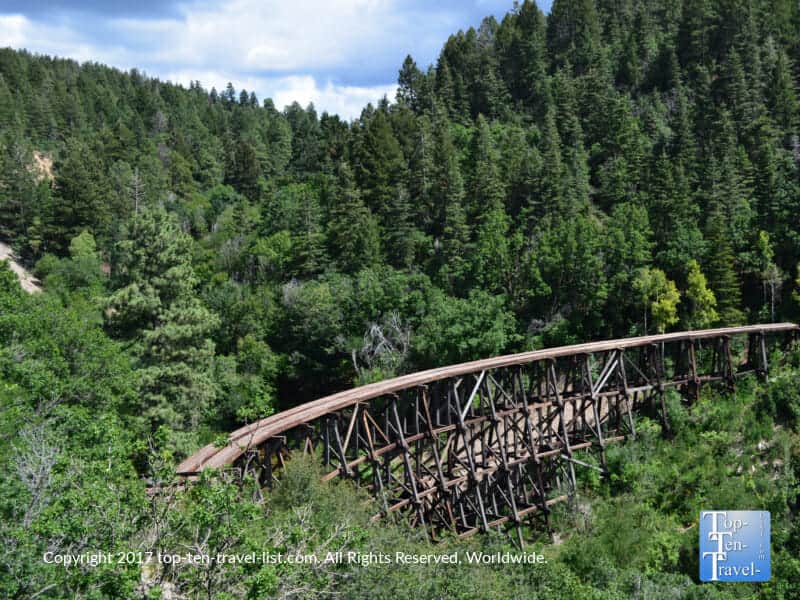
A drive up picturesque State Rd 244 is the perfect opportunity to enjoy nature in a cooler setting. From Ruidoso, the drive to Cloudcroft takes about an hour. The scenery is spectacular the entire way up with lots of lovely pines. At Cloudcroft, the main attraction is the Trestle Recreation Area. This site features a historic wooden trestle (built in 1899 for the Alamogordo and Sacramento Mountains Railroad). A number of boutique shops, cafes, and hiking trails can be enjoyed.
8. Apache Trail Scenic Drive
- Starting Point: Apache Junction (State Rt 88), about 30 miles east of Phoenix
- Length of drive: 42 miles
- Highlights: Incredible views of the Superstition mountains, gorgeous cacti, rustic setting, access to beautiful lakes
- Attractions: Lost Dutchman State Park, Canyon Lake cruise, Goldfield Ghost town
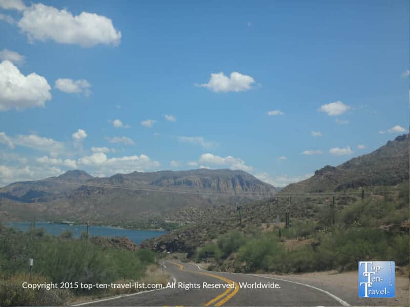
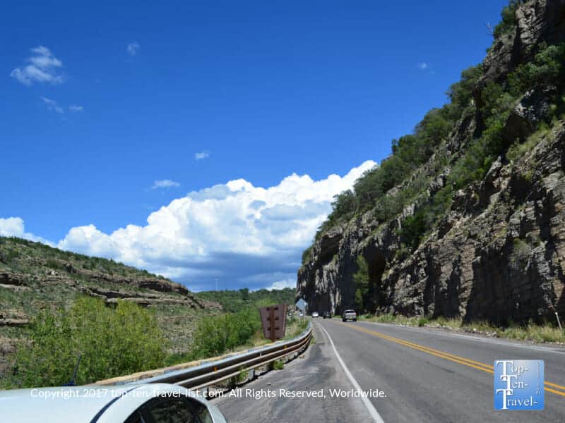
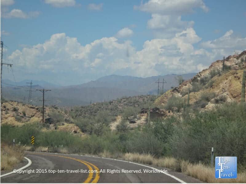
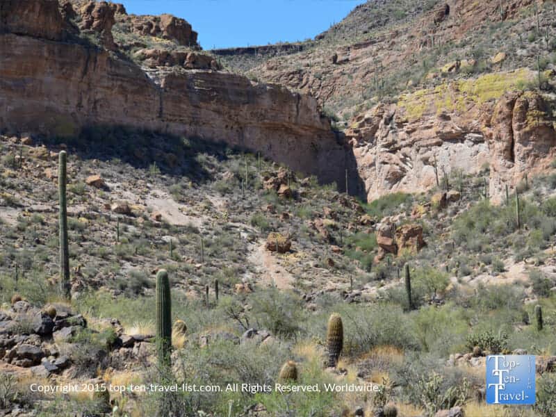
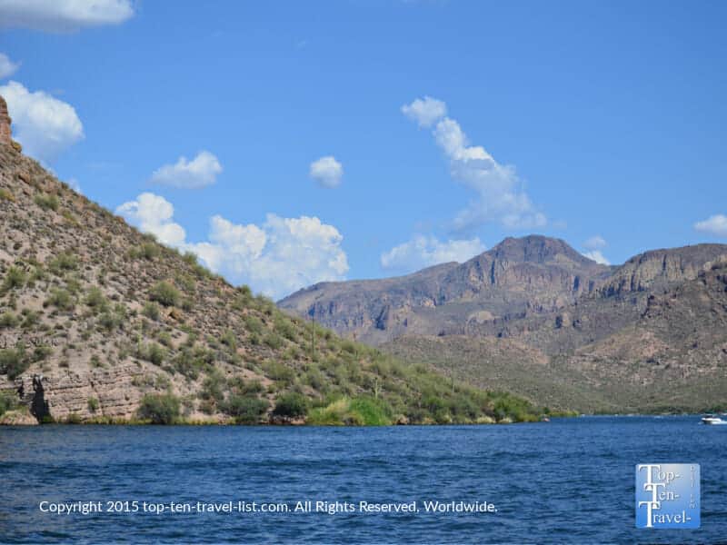
A cruise along the spectacular Apache Trail Scenic drive through Arizona’s mysterious Superstition Mountains is a must for anyone new to Phoenix. There is so much beauty and history packed into this wonderful drive. It’s definitely a worthy daytrip destination for nature lovers. While the road is mostly unpaved and super twisty and curvy, it’s worth the hassle in exchange for the unending views of stunning mountains and exotic cacti. Compared to popular tourist destinations like South Mountain, this drive is a tranquil alternative with similar incredible desert scenery.
Along the way, there’s lots to do and see. Consider taking a narrated cruise aboard the Dolly Steamboat along Canyon Lake. Explore the restored 1892 ghost town of Goldfield. Hike at Lost Dutchman State Park. Or, simply just cruise along and enjoy the enchantment of the desert. This trail was once used by the Apache Indians, hence the name. Because of its’ steep nature, Apache is considered to be one of the scariest drives in America. However, the exhilarating desert scenery also places it in the most scenic US drives category! Be aware – this one is only for experienced, brave drivers. Avoid at all costs if you are scared of heights!

9. Red Rock Scenic Byway (SR 179)
- Starting Point: Sedona, Arizona
- Length of drive: 7.5 miles
- Highlights: Amazing red rock views, access to wonderful hikes, fascinating million+ yr old rock formations
- Attractions: Little Horse Trail, Chapel of the Holy Cross, scenic overlooks, Village of Oak Creek (galleries, local restaurants, gift shops)
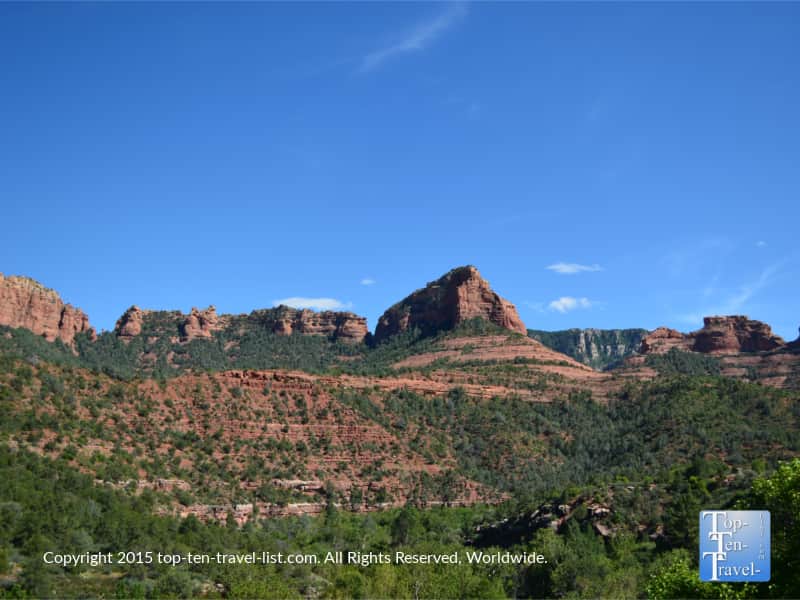
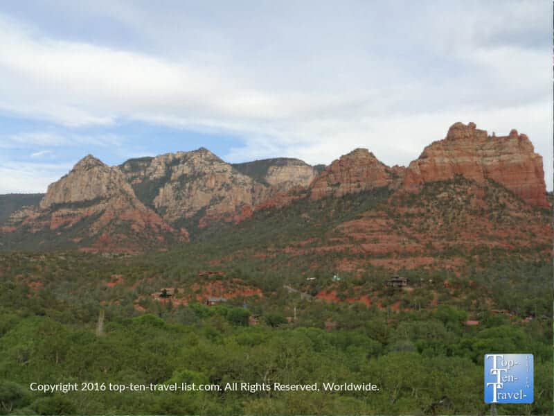
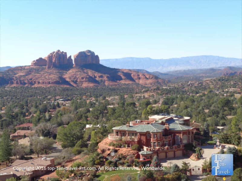
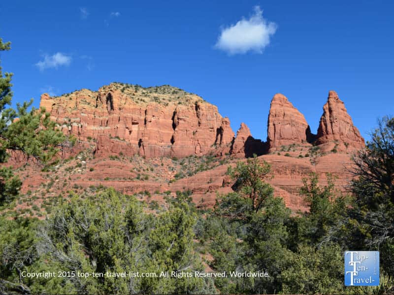
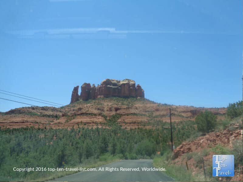
This short drive takes you past some of the most awe-inspiring sights you will ever come across. “Red Rock Country,” an appropriate nickname for Sedona, is one of the world’s most beautiful places in the world. On this drive, you will get to view some of the most prominent 300+ million year old red rock formations which have made Sedona a photographer’s and hikers’ dream destination.
This 7 mile road runs from Interstate 17 and continues on into the city of Sedona, and the views never disappoint the entire journey. Numerous overlooks as well as hiking trails (Little Horse is a great choice), The Chapel of the Holy Cross (a Catholic church built in between the rocks), and energy vortexes (Bell Rock) can be explored along the route. An energy vortex is basically an area of enhanced earth energy which is reported to help with healing, meditation, or spiritual purposes. Tourists come from all over the world to visit these vortex points.
With much to do and, you can easily turn this drive into a full day activity.
10. Hwy 160 (Wolf Creek’s Pass)
- Starting Point: Pagosa Springs, Colorado
- Length of drive: 80 miles
- Highlights: Incredible views, access to waterfalls and hiking trails, picturesque picnicking sites
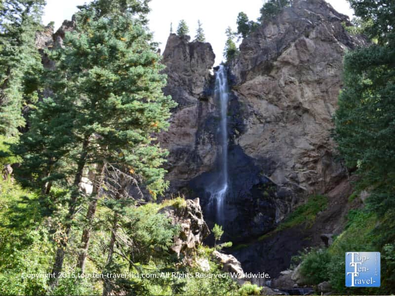
- Attractions: Lobo overlook, Wolf Creek Ski resort, Treasure Falls waterfall hike, Continental Divide trail
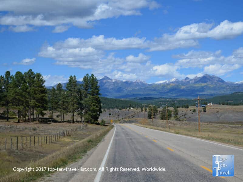
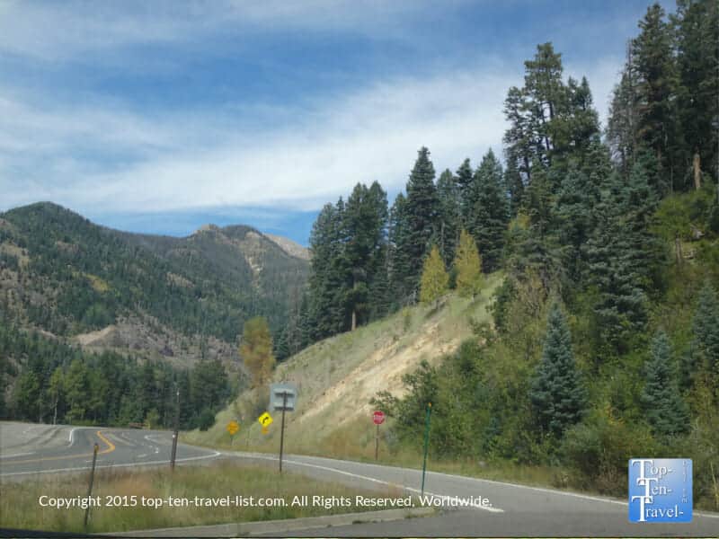
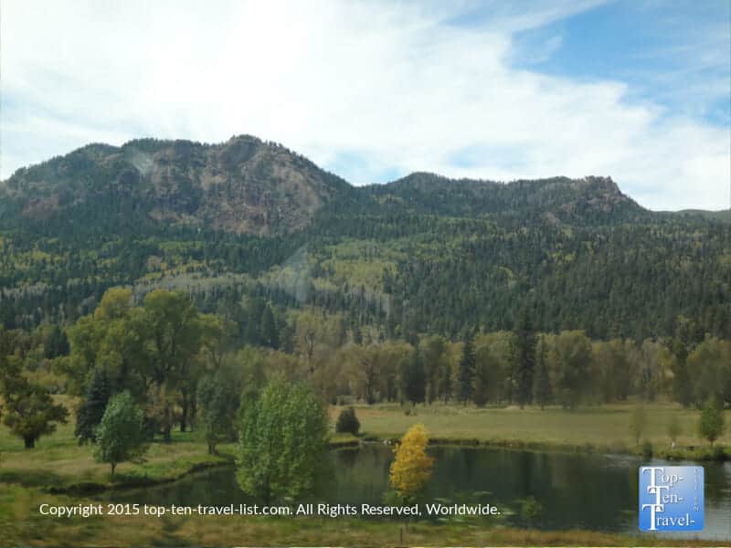
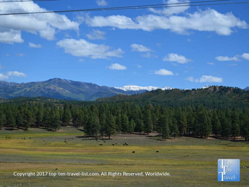
This gorgeous Southwestern Colorado drive travels through the San Juan National Forest. Nearby Pagosa Springs is an ideal vacation destination for outdoor enthusiasts and nature lovers. There’s so much to do, from hiking, to horseback riding, to rafting, to mountain biking. A scenic drive along Hwy 160 is also a must-do. This drive is even more spectacular during the colorful fall season as yellow aspens dominate the landscape. The most stunning waterfall in the region is easily accessed via this picturesque route.
Notable sights of interest include the hike to Treasure Falls (also viewable roadside), The West Fork Valley overlook (featured in Vacation), and the Continental Divide trail. This road was once considered to be the most dangerous in the country, especially for truckers. Thankfully, more signage has been added over the years. Regardless, it’s still a steep drive with many hairpin switchbacks and steep drops. In the 70’s, country artist C.W. McCall wrote a song entitled “Wolf’s Creek Pass,” in which he described the pass as “37 miles of hell.”