Hiking Hotspot: The High Altitude Trails of Mt. Lemmon
Disclaimer: We are not paid to promote any restaurant, hotel, activity, product, or attraction. All opinions are subjective and based on our personal experience. Your experience may be different.
One of the things I love most about Arizona is that you can always get somewhere cooler. I lived in Tampa a few years back and quickly got bored of the unrelenting heat with no escape. Tucson, on the other hand, is located within an easy daytrip of numerous high altitude recreation areas. I love hiking amongst the cacti, but I also love the cool pines. After months of desert hiking, I am craving seeing green trees. Located at an altitude of over 7000 ft in the cool pines of Southern Arizona’s Coronado National Forest, Mt. Lemmon is your best bet when it comes to escaping the brutal 100+ degree summer weather.
When the temps soar into the dreaded triple digits (which happens quite frequently during the summer season), your best bet for nearby outdoor fun is driving up the Catalina Highway to Mt. Lemmon, the highest point in the Santa Catalina Mountains at an elevation of 9159 feet.
Temps here are usually about 20 degrees cooler, which makes a big difference come summer. Think 80 vs. 100. It’s bit dangerous to go out too far this time of year. If you must, keep it short (here are some of my recommended easy under 2 mile hikes). I have escaped to the refreshing pines on many a 100+ degree day. Not only is Summerhaven a quick drive, but the scenery along the way is just as gorgeous! Getting here is just as much fun as spending the day here. I really love seeing the cacti transform into pines.
I prefer hiking in Flagstaff (I used to live here and it’s so gorgeous). However, the drive up to Summerhaven is only an hour compared to 4. When I am looking for a quick escape from the heat, I take this easy daytrip. You can enjoy a variety of trails, from easy nature walks to all day excursions. I love walking amongst the tall trees, the fresh scent of pine in the air – the setting is so different than that of the lower desert. Getting out and seeing something different every now and then is a good thing.
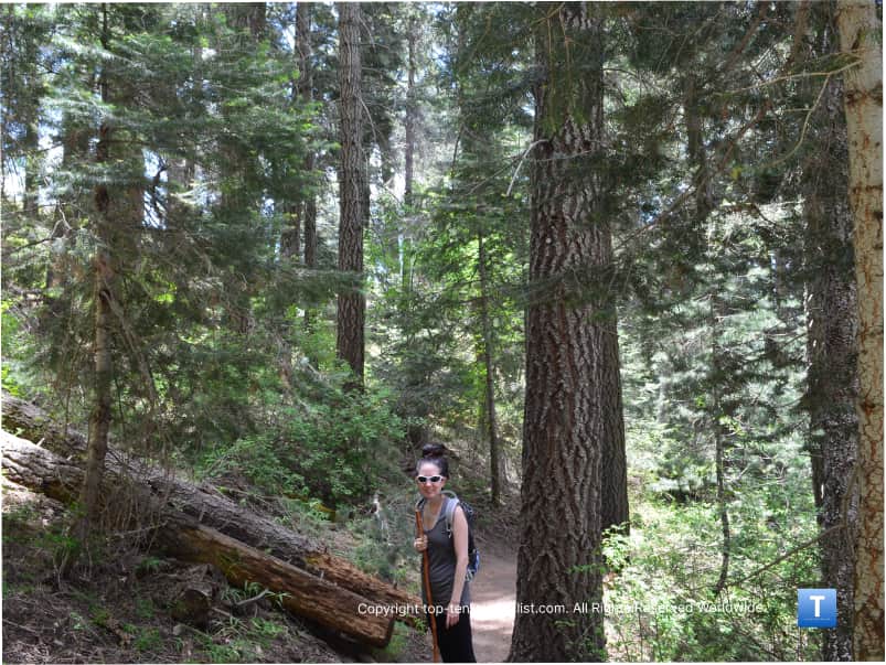
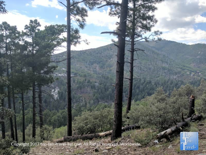
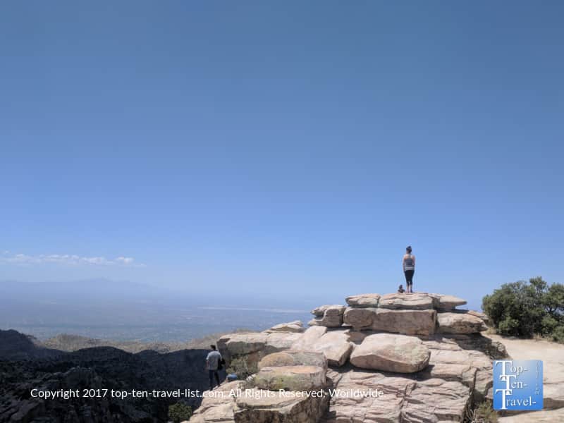
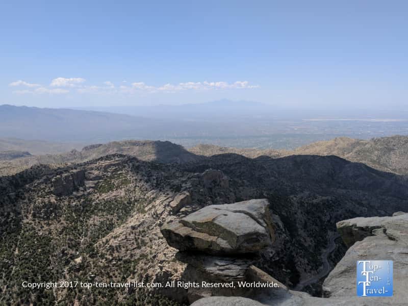
The Meadow trail: my favorite short trek
The Meadow Trail is the easiest choice at just under 2 miles RT and relatively flat minus a short semi challenging steep hill near the end. The views are pretty scenic considering the short distance, and include gorgeous vistas of both the mountains and beautiful ponderosa pines. Keep in mind the altitude is quite high, so take it easy and drink a lot of water. Don’t go all out if you are not used to working out in high elevated areas.
Unfortunately, a bit of the trail shows signs of past wildlife fire damage (The massive Aspen Fire of ’93 severely damaged much of the area), although on a whole the scenery is beautiful. Not as nice as Flagstaff, but again the closest option to the city. On a side note, improved trail markage would definitely be helpful for new visitors!

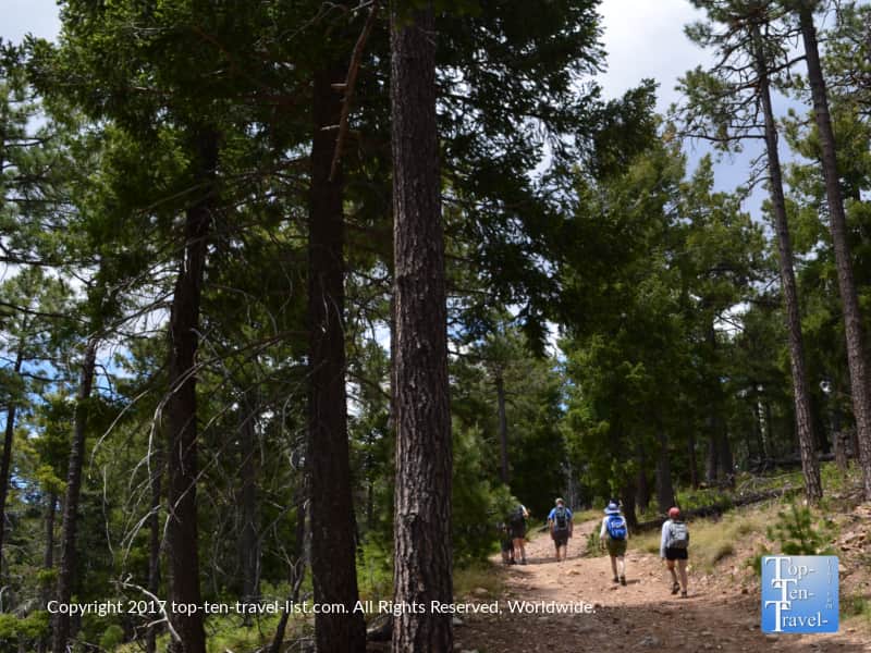
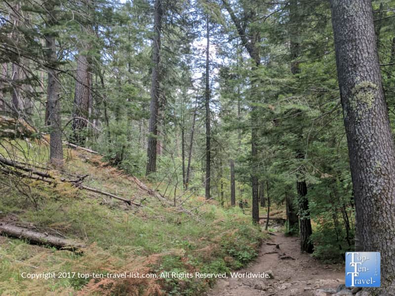
The Marshall Gulch trail
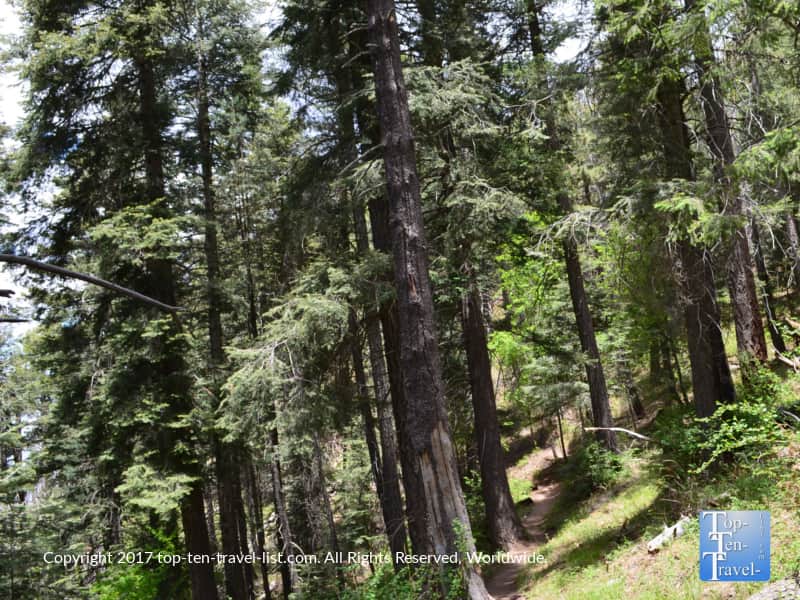
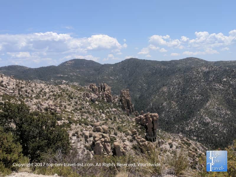
The Marshall Gulch trail is a bit more challenging and also more popular. Parking is quite hard to find, so unless you get up here really early, you may have to walk a bit along the road to get to the actual trail. A diverse variety of trees, predominantly ponderosa pines, make this one a great choice for anyone bored of the barren desert hikes. I feel more like I am in the Coconino National Forest in Flagstaff while hiking this one.
Most hikers will combine the Marshall Gulch with the Aspen trail, especially during the fall season as the Aspen trail’s gorgeous foliage creates a picture-perfect fall setting that you want to enjoy for as long as possible. The entire loop is just under 4 miles or you can simply turn around whenever you tire out for a quicker out-and-back trek.
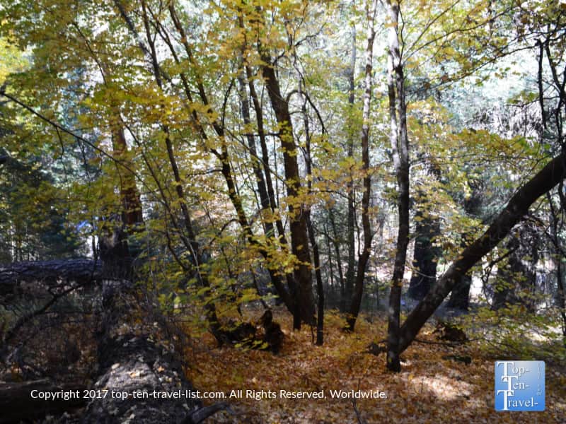
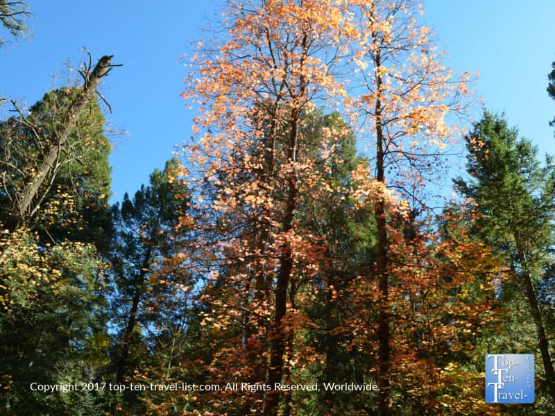
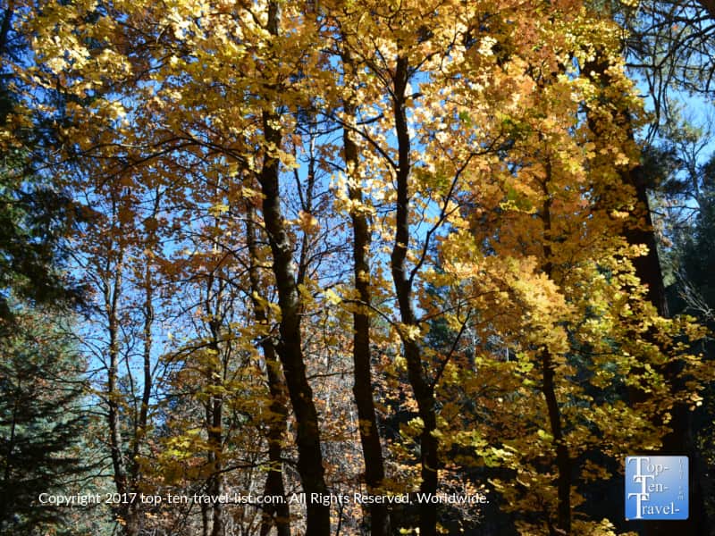
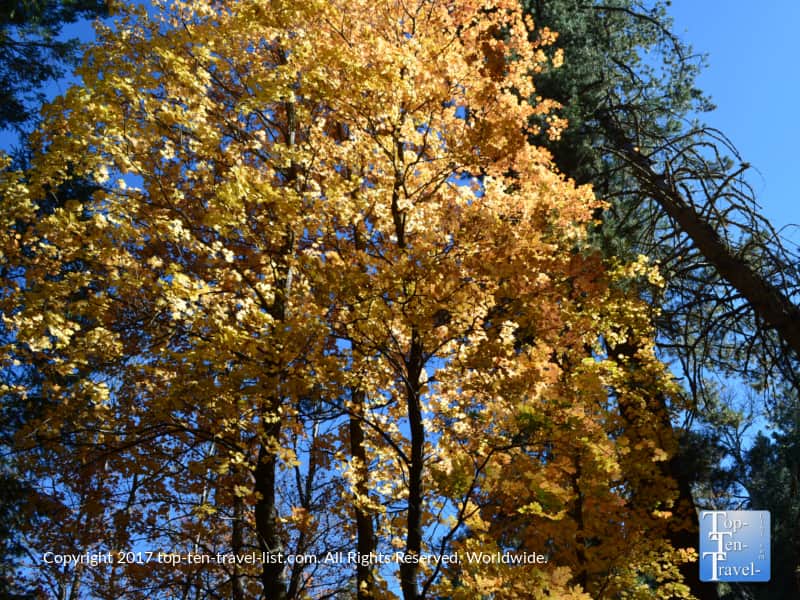
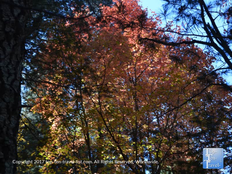
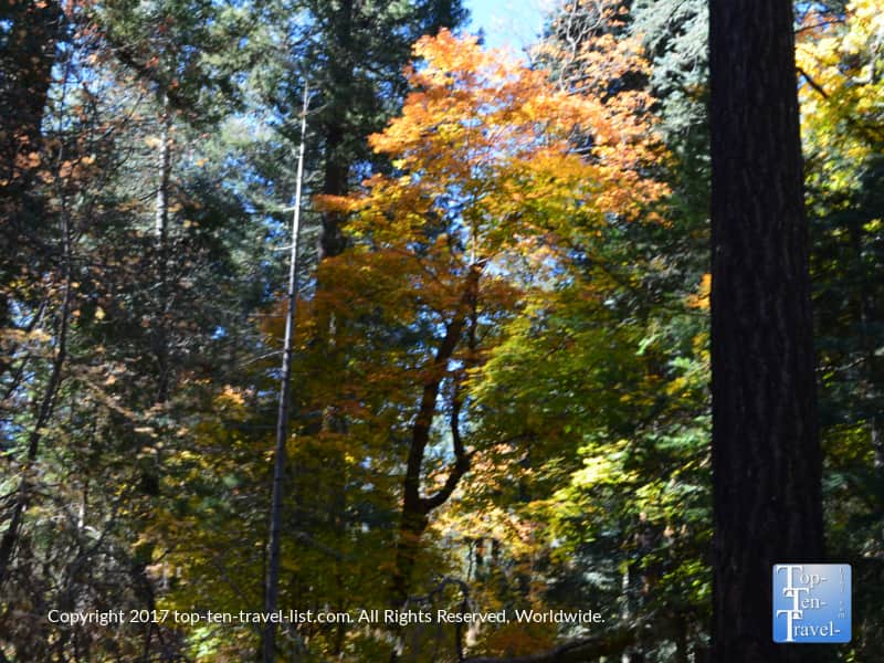
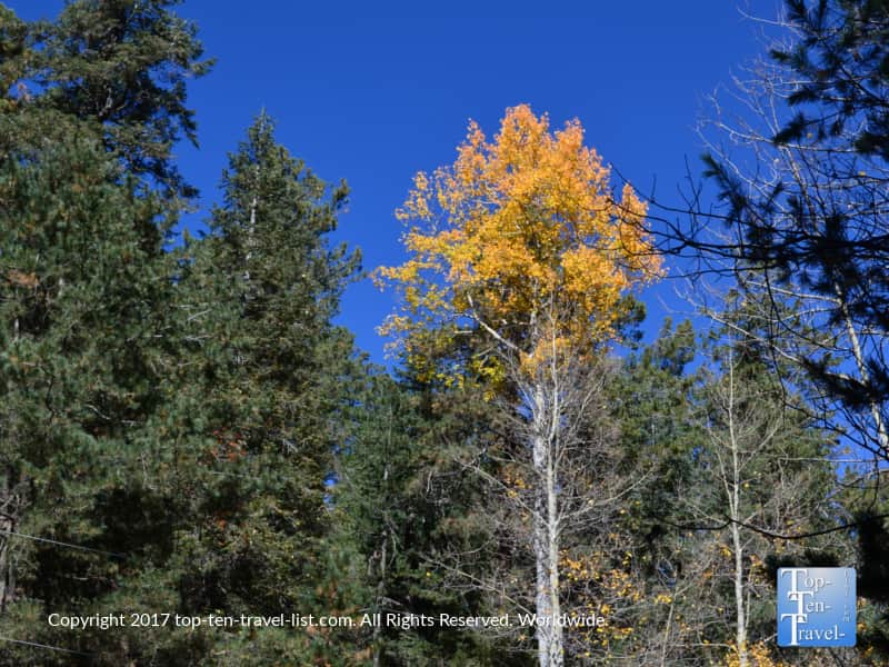
Autumn leaf peeping
This is also the closest place to see fall colors near Tucson. Obviously, Flagstaff would be my number 1 choice this time of year, but it’s a far drive requiring at least one night in a hotel. Nevertheless, if you are a local looking for any type of fall ambiance nearby, the Aspen Trail #93 (begins at the Marshall Gulch picnic area), the road near the Bear Wallow campground (milepost 22 on the Scenic Byway), Turkey Run Road (near the community center), and the Aspen Draw trail (accessible via Turkey Run Rd.) all tend to get at least a little bit of foliage around the last 2 weeks of October.
Here are a few views of colorful foliage from the various hikes mentioned above. Again not the best, but OK if you are looking for a quick leaf peeping daytrip.
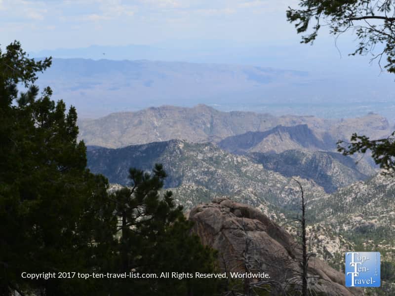
The Catalina Scenic Highway: A diverse & breathtaking cruise
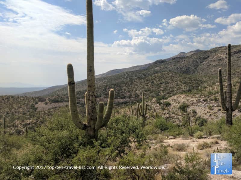
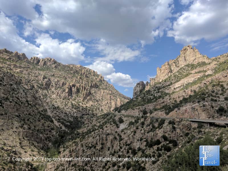
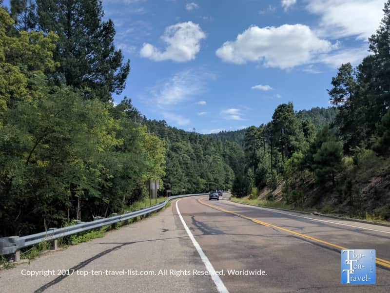
One of the best parts about hiking up here is actually getting here. To reach this mountain oasis, you will drive the scenic 30 mile long Catalina Scenic Highway, a picturesque windy road which travels through various terrain. As the elevation rises, the views switch from Saguaro cacti to towering pine trees as you arrive near the base town of Summerhaven.
It’s a really incredible drive for anyone not from Arizona as you get to see the vegetation change from the cacti of the Sonoran desert to the beautiful high altitude pine forests. Along, the way you will find various scenic overlooks, a lake, and an abundance of hiking trails. You can really make this a half day activity if you bring with a picnic, plan a hike on the route, and just stop to take a lot of photos.
Here’s a sampling of the great views you will experience along the way, although of course the scenery is so much more stunning in person! Take your time and enjoy – it’s gorgeous!
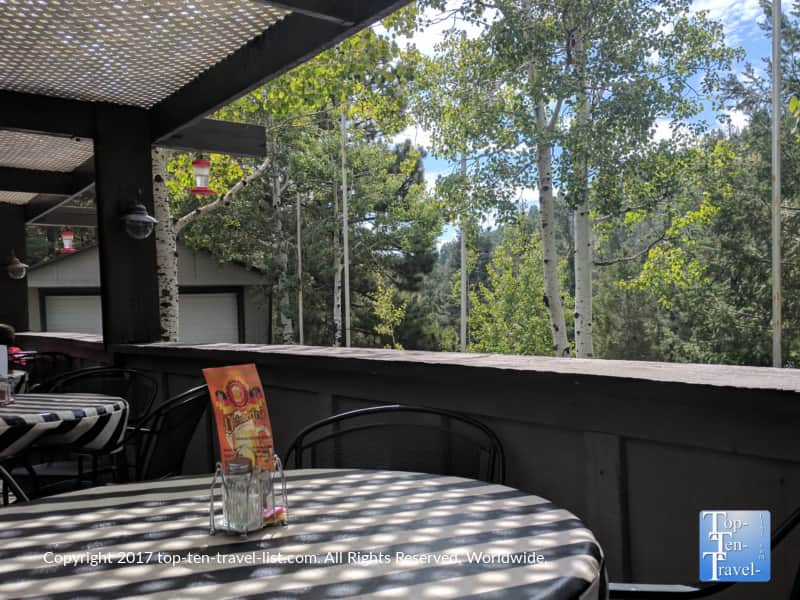
Dining options at Summerhaven
Iron Door is the best place to eat on the mountain. It is your basic family style restaurant with lots of comfort food choices for everyone. The design is rustic and the patio is beautiful during the summer season. The last time I was up here I enjoyed a delicious slice of veggie quiche.
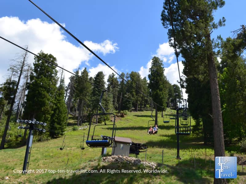
We sat outside and enjoyed the fresh breeze and hummingbirds. They were offering a free chairlift ride at the ski resort, so we enjoyed a leisurely ride. Next, we hiked and then enjoyed a picnic lunch. It was the perfect temporary escape from the desert heat.

The Cookie Cabin is also quite popular with tourists. This rustic log cabin style cafe serves pizza and gigantic cookies. I am not big on sweets, so I haven’t been here yet. If you do love cookies, I’ve heard it is great. They also serve coffee. I wouldn’t mind stopping for a cup of joe just to enjoy the ambiance but I always stop at a local coffeehouse before driving up the highway instead. Maybe next time!
Directions
As there is no official address for the trails, I recommend stopping in the Mt Lemmon General Store. Simply request general directions for your hike. While here, you can also pick up a few hiking essentials as well as a map detailing all the trails in the area.
Simply put the following address into your GPS: 12856 N Sabino Canyon Pkwy