Bryce Canyon Amphitheater: 4 Breathtaking Hoodoo Viewpoints
Disclaimer: We are not paid to promote any restaurant, hotel, activity, product, or attraction. All opinions are subjective and based on our personal experience. Your experience may be different.
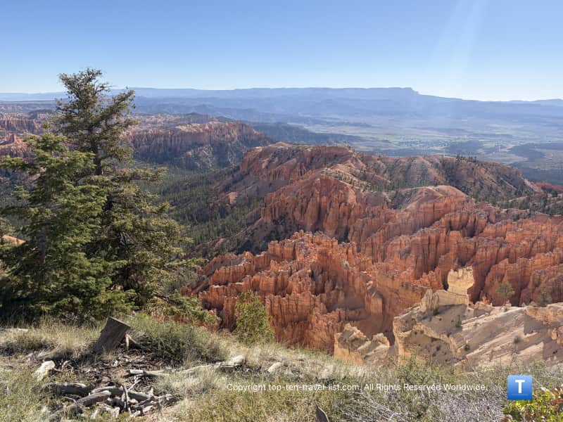
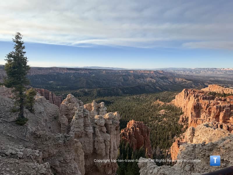
Mike and I recently planned a weekend roadtrip from Phoenix to Bryce Canyon National Park. This is the second Utah national park we have visited thus far. We loved hiking the Emerald Pools trails at Zion and plan on exploring Arches, Capitol Reef, and Canyonlands later this year. The entire setup of this underrated park impressed us. It’s definitely the best organized and most scenic of the 15 national parks we have visited thus far. The first 3 miles of the park consist of the Amphitheater, a bowl shaped section home to the most hoodoos in the world. As you can imagine, the views are out-of-this-world.
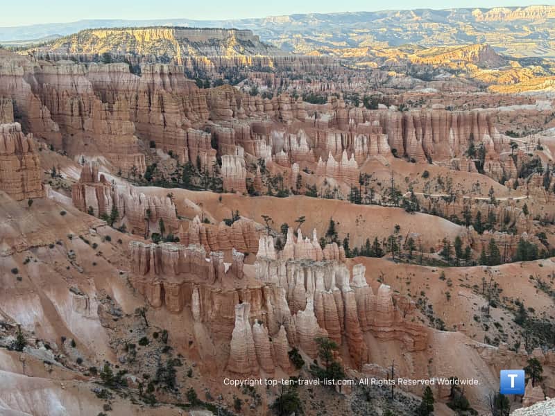
Hike the Rim trail or take the free shuttle to each point
You can access the 4 main park lookouts via walking the Rim trail or taking the shuttle directly to each one. The great thing about this park is that you do not have to be a fitness buff to enjoy the scenery. Yes, there are a few amazing hikes that venture into the amphitheater like Queen’s Garden, but you can enjoy equally incredible views by walking one of the flat paths along the Rim. The choice is yours, but the views are incredibly scenic either route you choose.
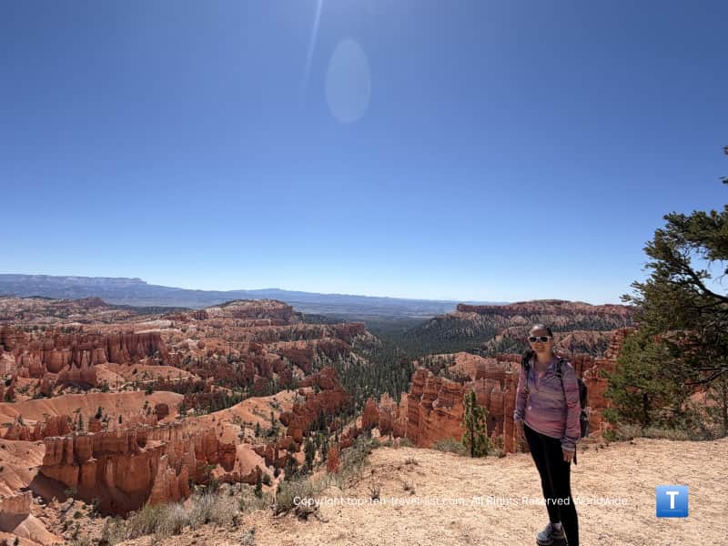
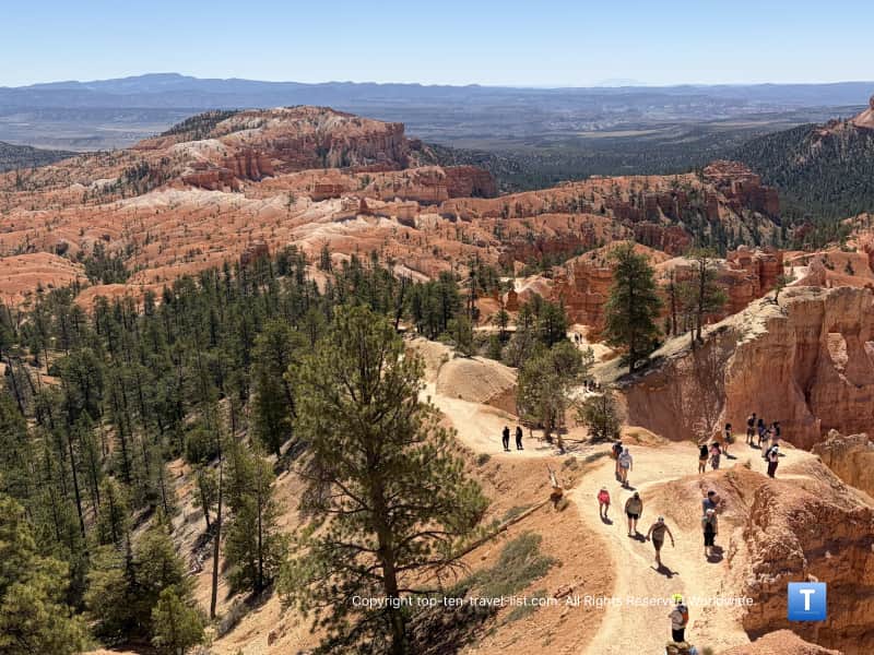
This is the most convenient park we have explored thus far. We took the shuttle directly from our hotel to these overlooks – it was so easy and nice to avoid extra driving after already putting in over 7 hours. First, we took the shuttle to Bryce Point and hiked the more moderate 1.5 mile trail to Inspiration Point. Then we took the shuttle to Sunrise and walked the easy half mile paved trail to Sunset. Later in the day, we took the shuttle to Sunrise and hiked Queen’s Garden.
Whether you feel like hiking or taking the shuttle, each of these overlooks deserves your time. You will get to take in a different, yet equally mesmerizing viewpoint of the rock formations and hoodoos so each is worth checking out.
Here are some pictures we took and information about each of these lookouts. I recommend enjoying all of them if you have the time.
Sunrise Point
Elevation: 8100 feet
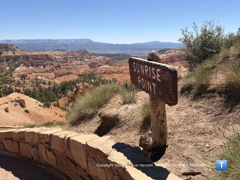
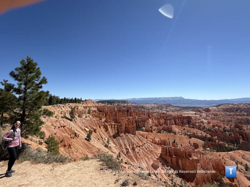
According to the NPS, this name was given to this point in order to attract lodge visitors in the morning. At an elevation of 8100 feet, it rises above the Rim trail for a stunning 360 degree view. Most notably, you can see a large crown shaped formation known as Bristlecone Point.
In the distance, you can see the pink cliffs of the Table Cliff Plateau. You will also be able to see the Boat Mesa and Sinking Ship rock formations. Sinking Ship was named as so for its’ 30 degree slope – a result of the Paunsaugunt fault line which has shown no activity in 9 million years.
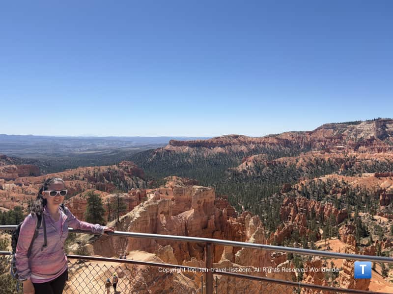
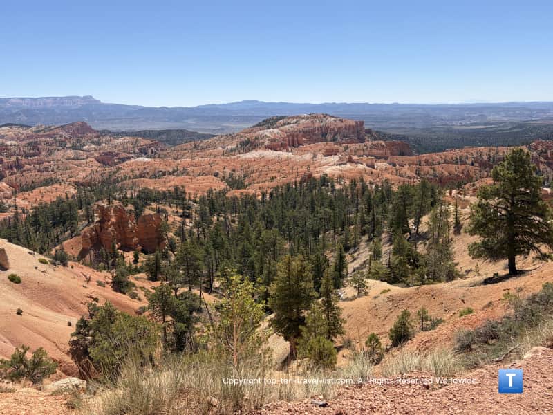
Hiking options: From here, most tourists choose to embark on the easy paved path to Sunset. It’s just a half mile, accessible, and features so many stunning views that you will be reaching for your camera every few minutes. I couldn’t stop taking pictures because the hoodoos are just so enchanting. If you have never vacationed to the Southwest before, I imagine you will be even more impressed.
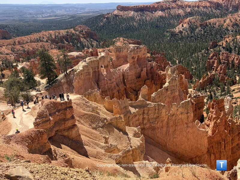
If you are up for a challenge (and that it is), the Queen’s Garden trail features a monster and scary 0.9 mile descent to the famous Queen Victoria hoodoo. I loved hiking amongst the towering hoodoos and going through the man made arch tunnels. Some of the drop offs are a bit scary so I do not recommend this one for those with height phobias. To make it even harder, you can connect to the Navajo trail which features steep switchbacks & views of more iconic hoodoos like Thor’s Hammer. This combined loop is 1.3 miles but more difficult.
Sunset Point
Elevation: 8000 feet
The main thing to look for here is the ancient 50+ million year old Clarion Formation. It is separated into a contrasting lower pink and upper white limestone, mixed with clay and slit. The pink color is a result of the oxidation of iron.
In the distance, you can enjoy views of the Tablerock Plateau and Navajo mountain. You can also see the Sinking Ship formation plus the famous Thor’s hammer hoodoo (for a better view, you can hike the Queen’s Garden/Navajo Loop).
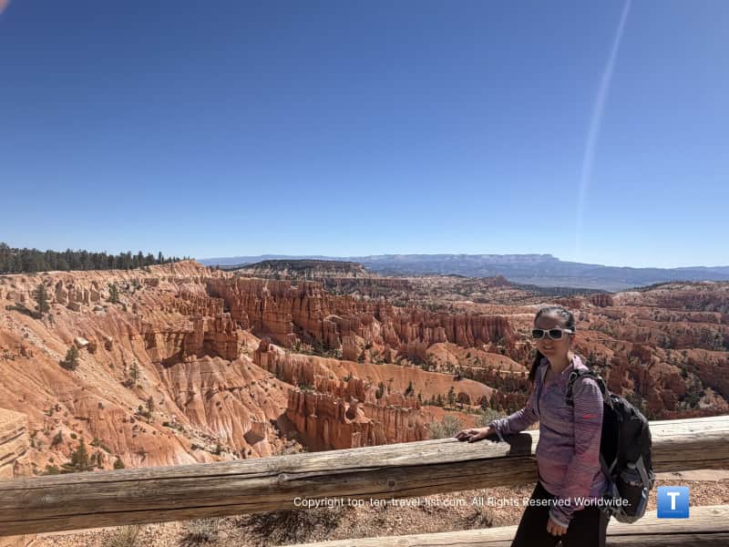
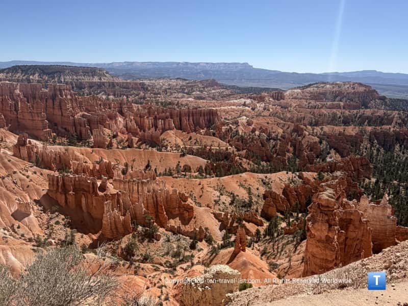
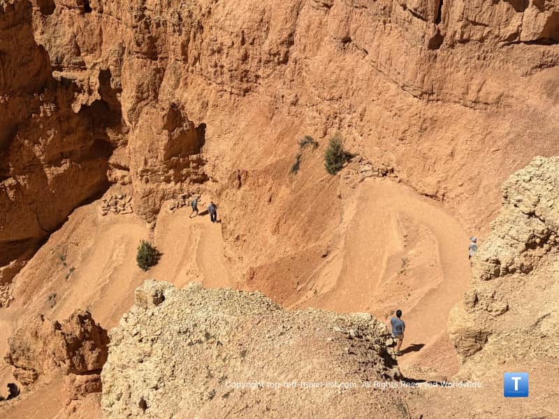
Hiking options: From here, you can enjoy an easy walk to the Sunrise overlook or embark on the challenging Navajo Loop. Note – the park staff informed us that starting the Navajo loop at Sunrise is much easier as the descent isn’t as steep. Starting at Sunset is much harder and they have to rescue many hikers each year due to the very steep switchbacks. If you do decide to start his way, wear hiking shoes with traction and carry a stick!
Inspiration Point
Elevation: 8100 feet
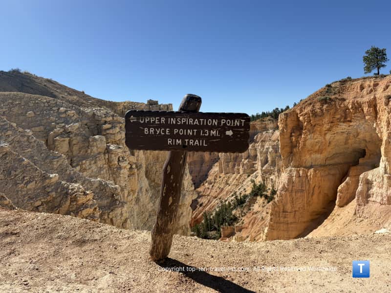
This overlook is pretty cool because you can take in the scenery from 3 different viewpoints. Like Sunset, this lookout also provides great views of the Clarion formation, a 50 million year old colorful limestone rock. Iron oxide is what makes the lower half of this formation shine brilliant hues of orange and red. You will also find hints of purple thanks to the manganese oxide present in the rocks.
You can also see the Paunsaugunt plateau, plus the Black and Tushar mountains. Wall of Windows and Boat Mesa rock formations are also visible. The park says this is the best spot to watch a sunset. All of the overlooks face east, and thus, the sun sets behind you.
However, there is something called the “Golden Hour” that we learned about during our visit. Due to the indirect sun lighting, the hoodoos stand out more and get even redder at this time of day. If you are a photographer, you will want to plan accordingly.
You can also see Bryce Creek although it is typically only flowing with water after summer monsoons or when the snow mets. On a side note, this park is supposedly wonderful for stargazing. We didn’t have enough time but a tour sounds pretty cool (although a little pricey). According to the park, Inspiration is the top stargazing destination.
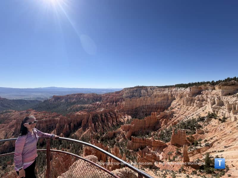
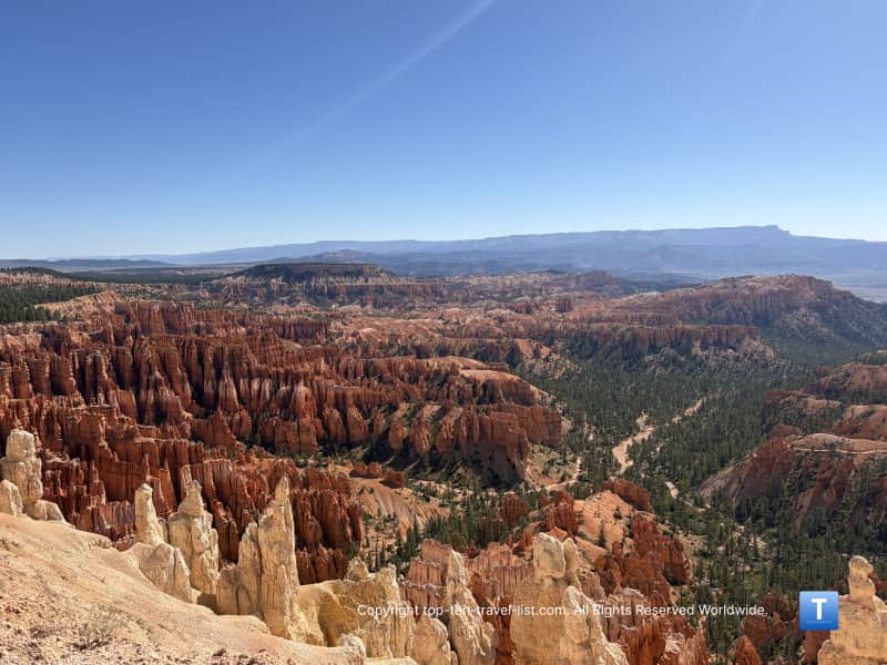
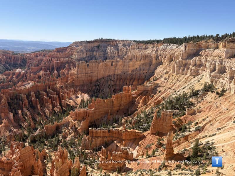
Hiking options: You can hike 1.5 miles to Bryce Point, which marks the southern endpoint of the 5.5 mile Rim trail. This is a really beautiful, quiet trail and it ends at the most mesmerizing scenic overlook within the park.
Bryce Point
Elevation: 8300 feet

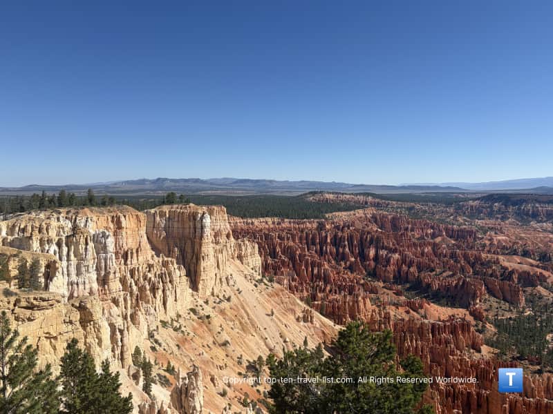
This is the most stunning overview and also the most popular according to park sources. This point and the park were named after Mormon pioneer Ebenezer Bryce. On an interesting side note, the Southern Paiutes called this place Unka Tumpi Wun-nux Tungwatsini Xoopa Kichu Anax. This means “Red Rock Standing Like a Man in a Hole”.
You can see Inspiration, Sunset, and Sunrise points from here as well as the Paunsaugunt plateau. In the past, the hoodoos were named after the odd shape they take on. The park states they no longer name them because they often break and don’t look the same.
From here, you can see these iconic formations: Wall of Windows, Alligator, Silent City, and Boat Mesa to name a few.
There is a nice view of the Aquarius Plateau, which we our shuttle driver said is the tallest timbered plateau in the US at 11,328+ feet.
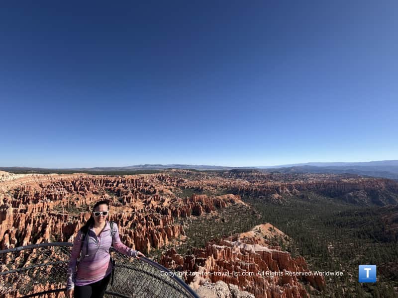
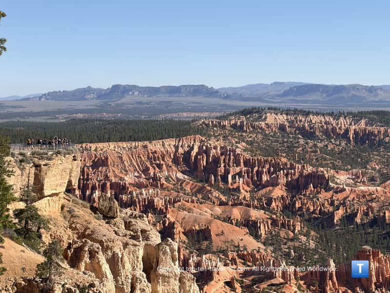
Hiking option: As I stated in the previous section, an awesome underrated section of the Rim trail begins here. The section from Bryce to Inspiration Point is 1.5 miles and moderate in intensity. It doesn’t draw as much traffic as other hikes in the park so it remains quiet. I loved all the lookouts of the hoodoos as well as the peaceful sections lined with douglas fir trees. If you are up for a moderate workout, I definitely recommend this one! Note: this trail closes in winter.
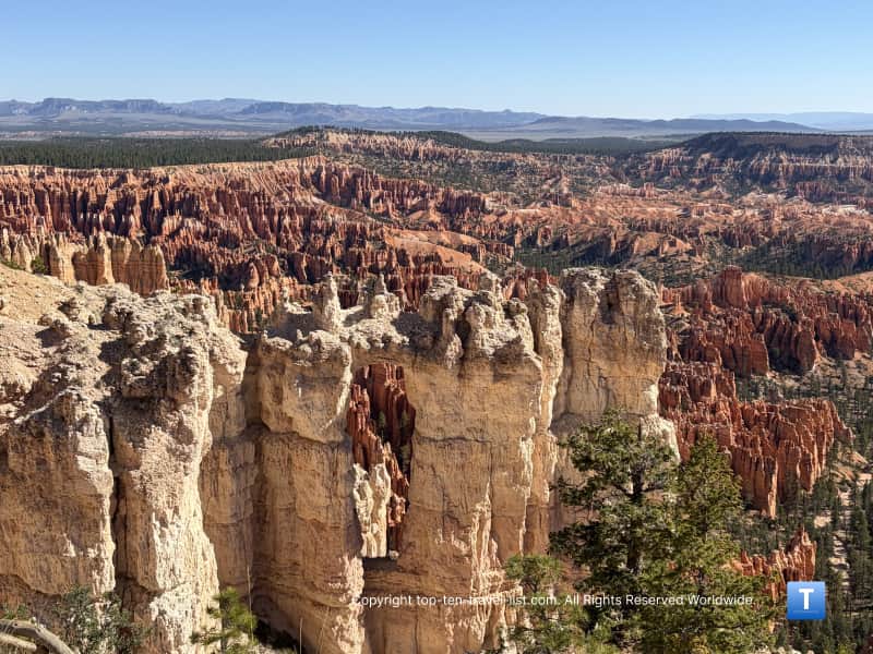
Here’s some more details on the history of each overlook if you are interested in reading more. There are also some plaques at the park where you can learn more. Starting your vacation at the visitor’s center is always a great idea.
Tips for a great park visit
Book a hotel with a shuttle. It’s so convenient to get up in the morning and enjoy a free ride to the park. If you are driving a far distance just to get here, it’s nice to take a break and let someone else do the driving. Plus, it’s super hard to find parking especially during the daytime in the summer. We stayed at the Ruby’s Inn and it was a decent budget choice with many amenities like a free breakfast, on-site lunch and dinner buffet, and a pool/hot tub.
Purchase your park pass beforehand. Ruby’s Inn sells passes if you are staying there. Admission is $35. I recommend the $70 annual pass if you plan on visiting more than 2 parks in the upcoming year.
Be aware that any physical exertion is much harder at high altitude. Because there is less oxygen in the air, your body has to work harder. You may feel short of breath, fatigued, dizzy, or even nauseous. The park recommends drinking more water, skipping on the alcohol, and eating more. You should also not hike as hard and long as you usually would to compensate for the harsher conditions.
Plan your visit around sunset to enjoy views of the hoodoos during the colorful “Golden Hour.”
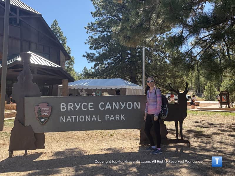
Stop by the visitor’s center to get a picture of the park sign and get your National Parks booklet stamped. If you don’t have one, it’s basically a little booklet to commemorate all the parks you’ve visited. I leave mine in my glove compartment so I never forget to pack it.
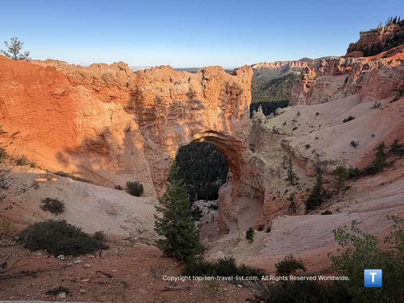
Don’t forget about the scenic drive. Unfortunately, there is no shuttle but it’s worth a little bit of gas money and inconvenience. This 18 mile road travels to the park’s highest point – Rainbow at 9115 feet. There are numerous overlooks along the route, most notably Natural Bridge.
Here’s my full guide to exploring the park in a weekend. I’ve included info on the best place to stay, the free shuttle, the best hikes, and more.